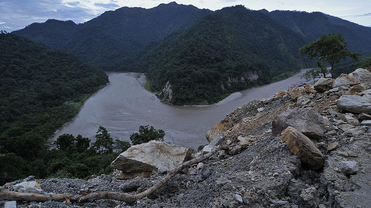
A view of Teesta River in Sikkim. File
| Photo Credit: RITU RAJ KONWAR
GUWAHATI
A Himalayan tsunami generated by the collapse of a huge mass of rock, ice, and sediment into a glacial lake triggered the 2023 Sikkim flood that killed 55 people and destroyed a 1,200-megawatt hydropower dam on the Teesta River, a new study has revealed.
Also Read | What caused the flood in Sikkim? | Explained
The study by 34 scientists, members of NGOs, and other stakeholders from nine countries, published in the latest edition of the Science journal, did not rule out the possibility of repeat disasters but said there was no evidence that a cloudburst triggered the glacial lake outburst flood (GLOF). The Sikkim government attributed the GLOF to a cloudburst in its report to the National Green Tribunal in 2024.

The study’s lead author is Ashim Sattar, assistant professor at the School of Earth, Ocean, and Climate Sciences of the Indian Institute of Technology Bhubaneswar. Contributions included Praful Rao of the Kalimpong-based Save The Hills and Prabhakar Rai of the Sikkim State Disaster Management Authority.
The team said the study was carried out to understand the Sikkim disaster and identify major findings of wider relevance given rapid climate warming in mountain regions worldwide. It analysed the drivers, causes, and downstream impacts of the hazard cascade using high-resolution satellite imagery, seismic data, meteorological data, field observations, and numerical modelling to back-calculate the GLOF’s movement.
The study concluded that the disaster was triggered by the collapse of 14.7 million cubic metres of frozen lateral moraine into the South Lhonal Lake (SLL) at 5,200 metres above sea level in the Upper Teesta basin. The outcome was a 20-metre-high tsunami-like impact wave that rapidly created a major breach, releasing 50 million cubic metres of water, enough to fill about 20,000 Olympic-size swimming pools.
The ensuing GLOF eroded about 270 million cubic metres of sediment, which overwhelmed infrastructure, including hydropower installations along the Teesta River. The wave of water took about two hours to reach the damaged hydropower dam at Chungthang 67.5 km downstream.
Unstable moraine
The researchers ruled out cloudburst as the trigger for the disaster although there was some rainfall in the vicinity around the time of the collapse of the moraine or glacial debris formed over years into the SLL. They found evidence that the moraine was unstable with a maximum displacement of 15 metres per year between 2016 and 2023.
They factored in the possibility of climate change making the glacial lake unstable owing to the thawing of permafrost or frozen ground.
“The physical scale and human and economic impact of this event prompt urgent reflection on the role of climate change and human activities in exacerbating such disasters. Insights into multi-hazard evolution are pivotal for informing policy development, enhancing early warning systems, and spurring paradigm shifts in GLOF risk management strategies in the Himalayas and other mountain environments,” Dr. Sattar said.
“The SLL has not fully drained, and deformation of the moraine is continuing on the flanks of the lake. Thus, a direct repeat event cannot be ruled out, and there are thousands of similar lakes across the region. As warming continues, and it is rapid in high mountains like this, the threat from GLOFs will grow,” Dave Petley of the University of Hull and a co-author said.
The study noted that the Himalayas contain more than 2,400 lakes larger than 0.1 square km, and many of these are growing rapidly. It also said more than 650 projects are planned or under construction in the region to exploit the hydropower potential of 500 gigawatts, 80% of which remains untapped.
The study underlining the susceptibility of the SLL to more GLOFs attains significance as an Environment Ministry panel cleared a proposal to build a 118.64-metre-high concrete gravity dam in the place where the 60-metre-high 1,200 MW Teesta-III dam stood.
Although 55 people were confirmed dead, 74 others including armed forces personnel were reported missing after the flood. The study also noted that the event damaged 25,999 buildings, and 31 major bridges, impacted four dams directly and inundated 276 square km of agricultural land apart from triggering 45 landslides.
Published – February 01, 2025 10:13 pm IST